Hamilton’s Flooded History
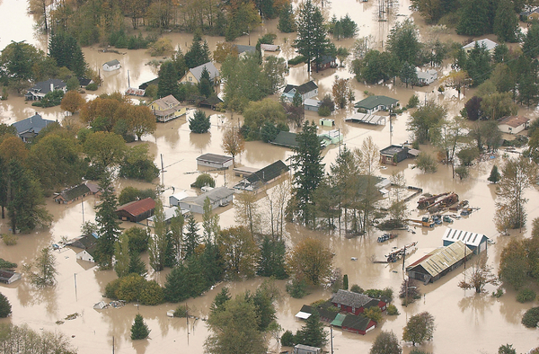
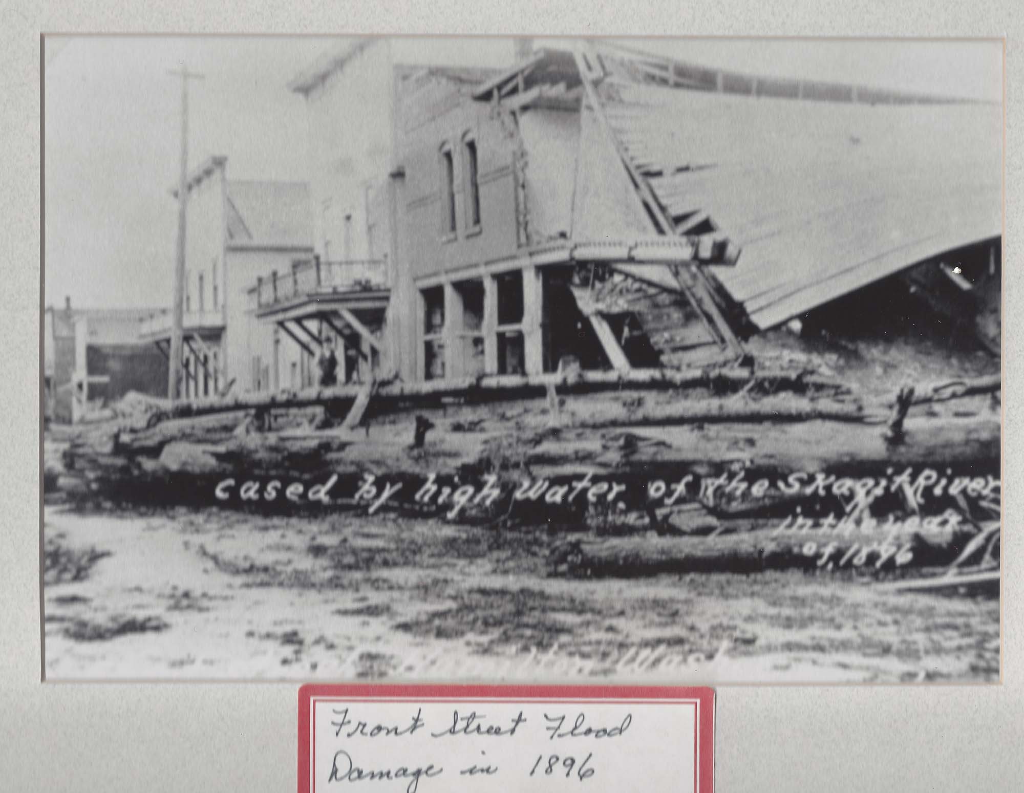
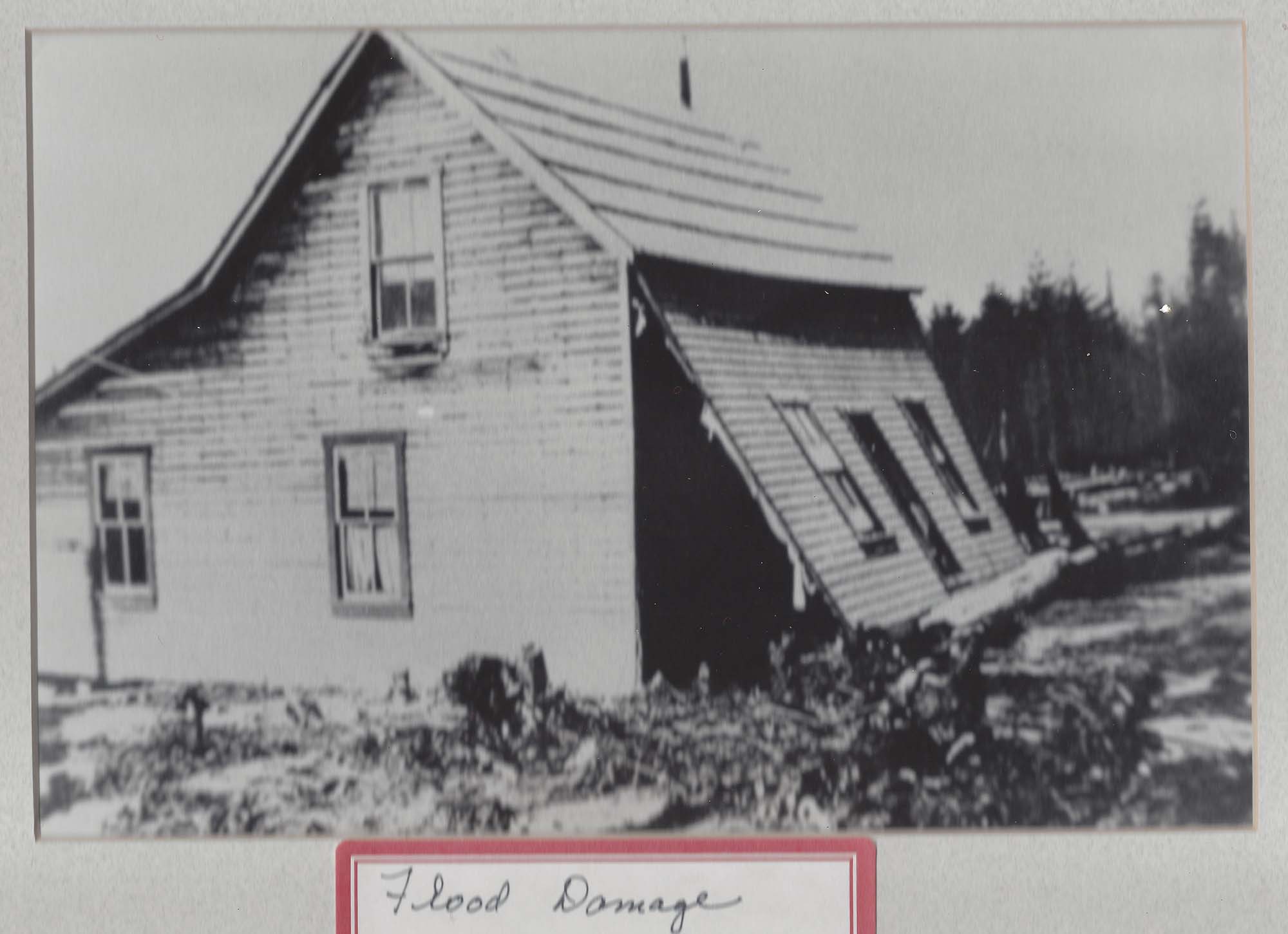
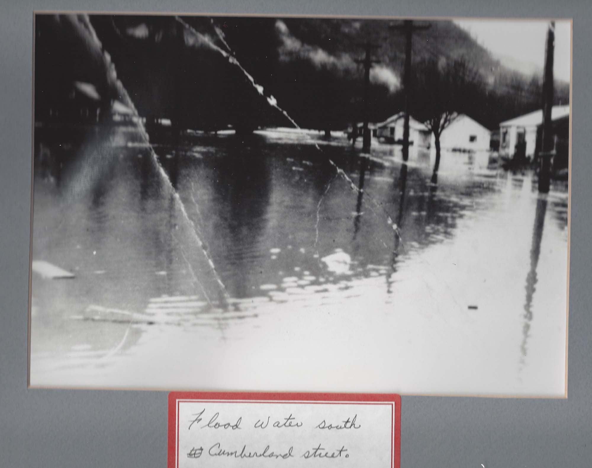
Some have dubbed Hamilton ‘The Most Flooded Town in Washington State’ as 90% of its residential area is in the floodplain. While that is debatable, the town has certainly had its fair share of flooding. Considered to be part of the Skagit River Floodway, the town of Hamilton has faced significant flooding every few years – 1976, 1980, 1981, 1984, 1990, 1991, 1996, and most notably in 2003, 2006, and 2017. The repeated flooding has forced many of its residents to adopt a routine of relocating their furniture and valuables from the ground floor of their homes and evacuating to stay at a local church until the waters subside. The Federal Emergency Management Agency(FEMA) has estimate it has spent $4.6 million in the town over the last several years.
While waiting for the Urban Growth area to be available, Hamilton has moved forward with help from the Skagit Fisheries Enhancement Group and Skagit Land Trust to enlarge protected areas and start rehabilitating habitat along Carey’s Slough. A hydrology study has been done to ensure replacing the culverts that are currently fish barriers in the slough wil be effective for fish while not increasing the risk of flooding. Planning to final design of the crossings is expected with the current Capital Budget Approval
Support has been building for a plan to move the entire town to higher ground at a nearby hill. The Hamilton Public Development Authority was established in 2006 to purchase the land necessary for moving the town, which was achieved with assistance from the conservation group Forterra in 2018. Forterra has purchased a 45-acre (18 ha) farm north of State Route 20, which it plans to develop into a green city with housing for the relocated townspeople.

